
Data Products
Data Products
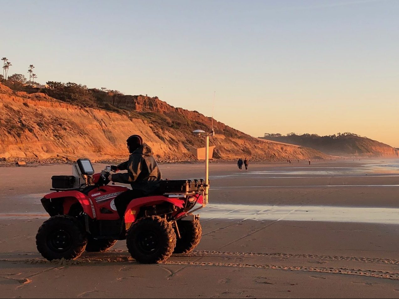
The Coastal Processes Group develops customized products based on wave, water level, beach, and cliff, observations and model results. Products include summaries of beach monitoring efforts, site specific wave induced flood forecasts, and visualization tools to examine historical regional airborne LiDAR surveys.
Coastal Focus Sites
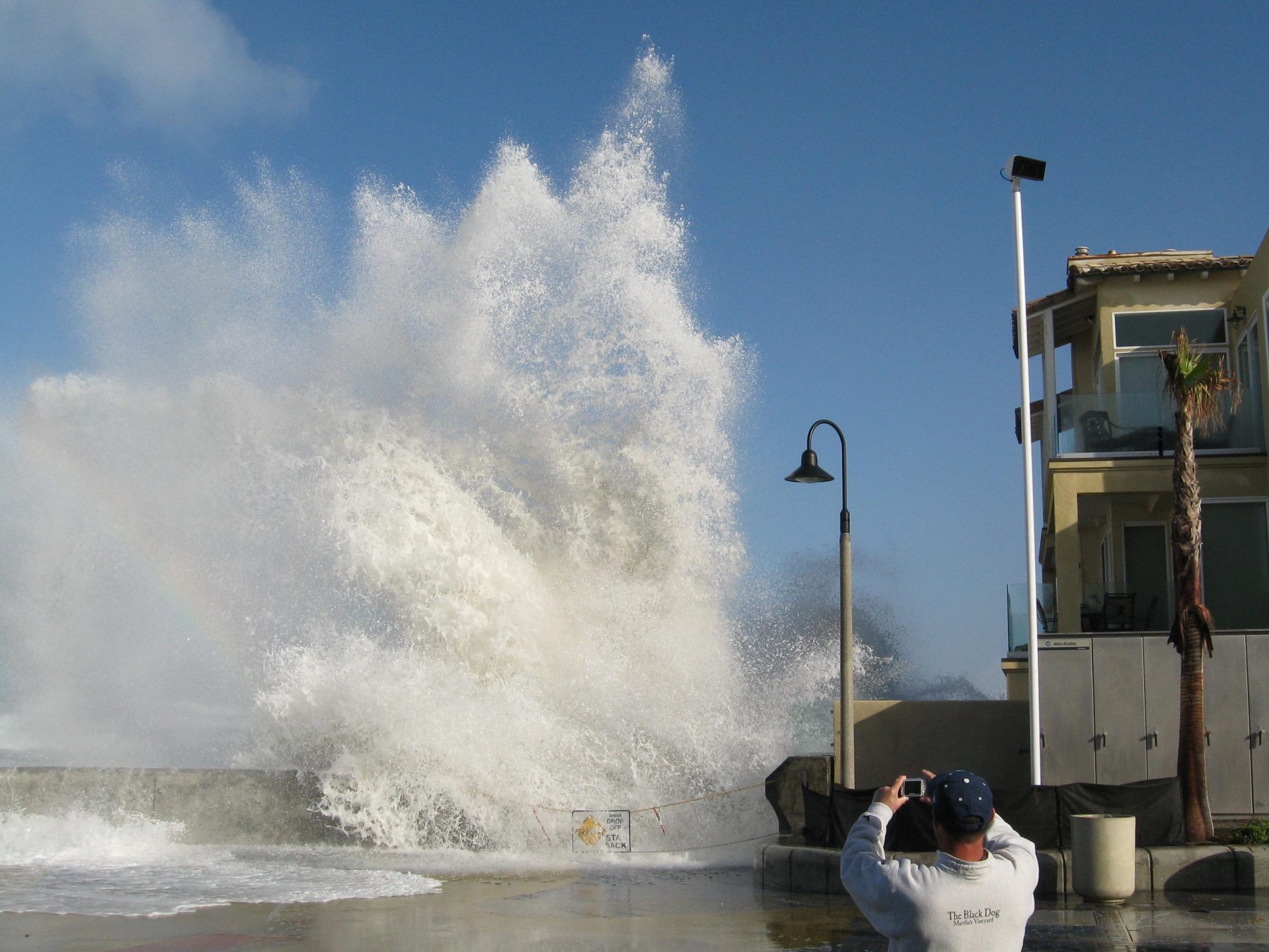
The goal of Southern California Coastal Ocean Observing this Coastal Hazards Project is to develop and distribute customized model products for nearshore waves, runup, beach and cliff erosion, and shoreline water levels at targeted sites in southern California.
San Diego Beach Report
Annual summaries of the state of coastal parks and beaches within the San Diego study region, highlighting year-to-year variations in beach width, sand volume, and wave forcing, critical to planning for current and future shoreline vulnerabilites.
San Diego Waves & Beach Outlook
The Winter Waves and Beach Erosion Outlook are based on a 42-year (1979-2020) hindcast of the Oceanic Nino Index (ONI) vs. local winter wave height anomalies.
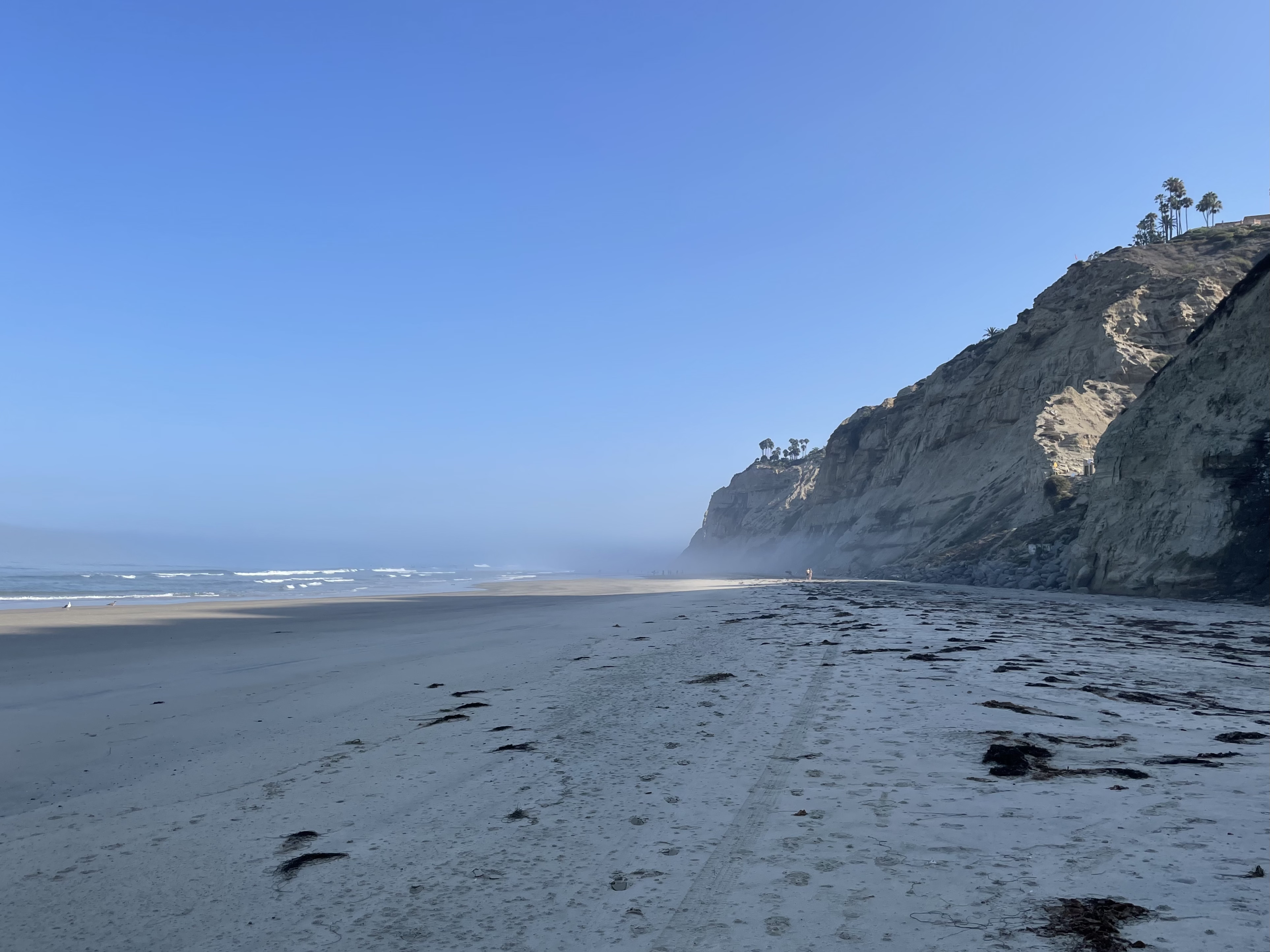
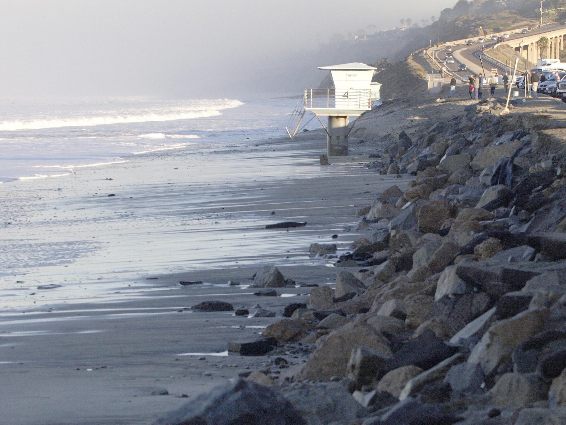
California Coastal Cliff Erosion Viewer
The online viewer provides information on cliff face and cliff top retreat rates across the state utilizing data from airborne light detection and ranging (LiDAR) datasets.