
Technology
The Coastal Processes Group employs a range of field data collection technologies and methodologies to increase the accuracy and efficiency of our coastal monitoring program. Efforts include the development and testing of in-situ instruments (e.g., sonar altimeters, pressure sensors, current meters), GPS systems, mobile lasers (LIDAR), and the remote sensing of beaches, coastal cliffs, lagoons, bathymetry, coastal inundation, and coastal structures using unmanned aircraft systems (UAS).
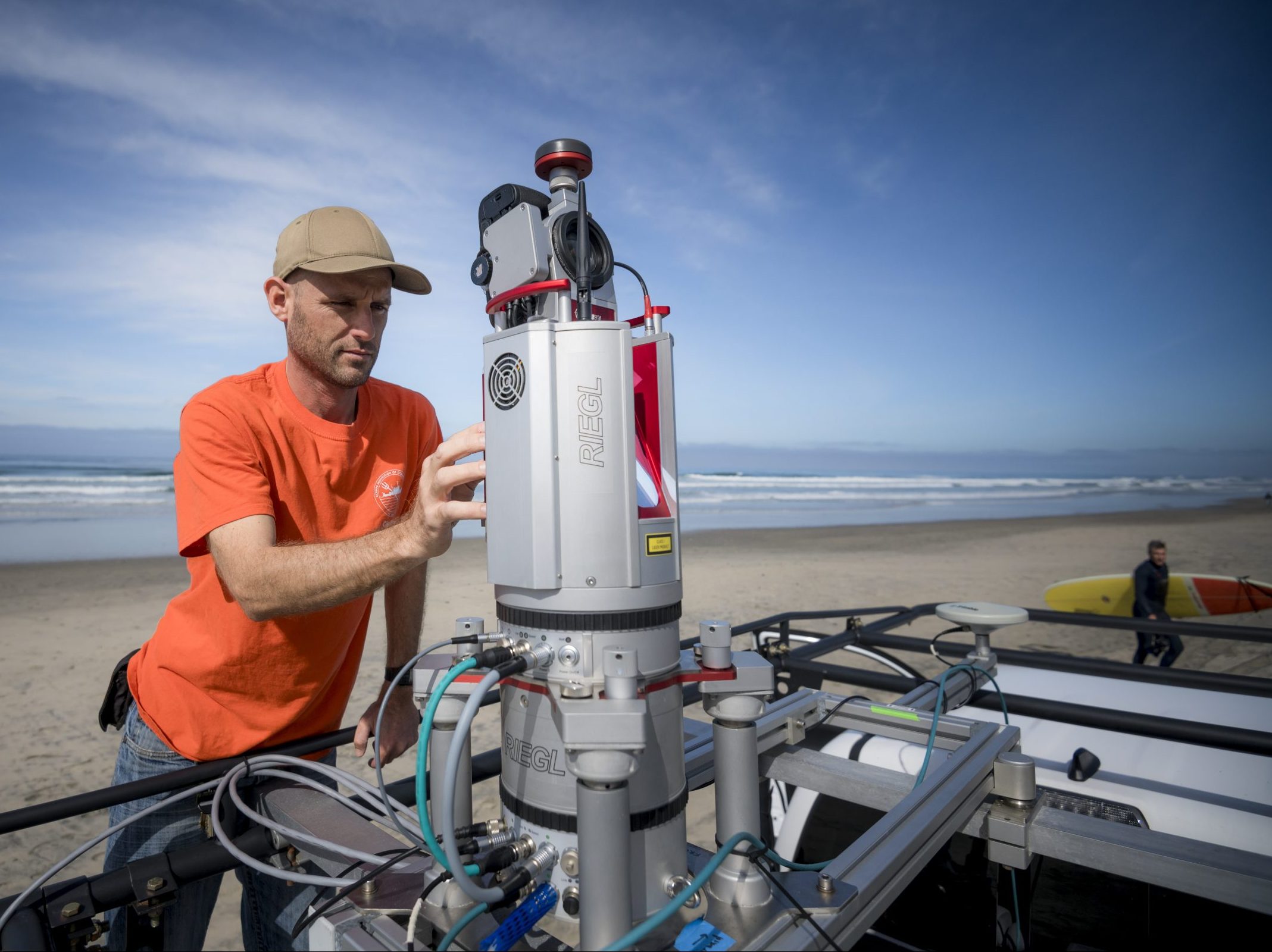
LiDAR
Mobile scanning LiDAR has extended our survey coverage from beaches only, to include coastal cliffs, back beach berms, and coastal lagoons. With different platforms, LiDAR can also be used to measure waves, runup, and flooding. Development of LiDAR systems for rapid response monitoring to coastal storms are under development.
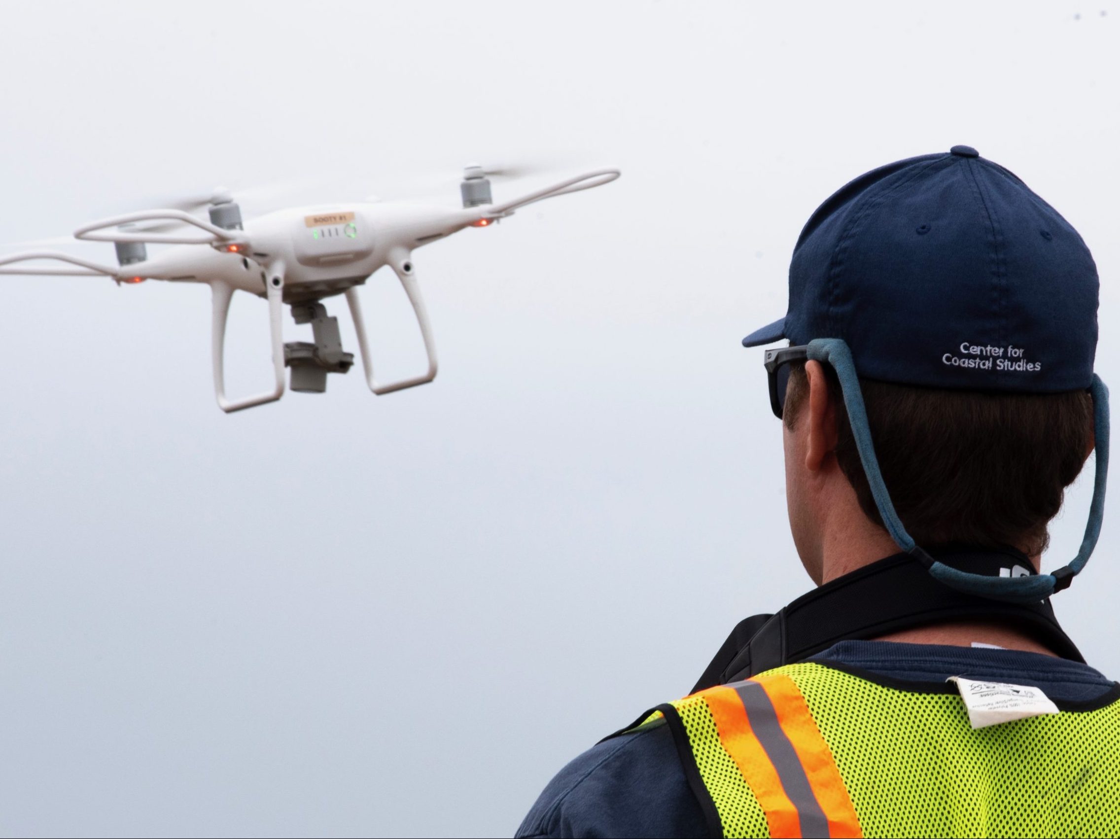
Photogrammetry
Newly acquired photogrammetric survey drones enable significant spatial and temporal expansion of current coastal surveys at orders of magnitude higher resolution. Drones are also used to opportunistically observe runup and flooding, in locations of interest, but lacking supporting observational infrastructure.

Survey Platforms
Coastal surveys of cliffs and evolving beach sand levels between the back beach and ~10 m water depth are obtained with GPS, LiDAR, and photogrammetry equipped survey platforms including a jetski, hand-pushed dolly, an all terrain vehicle, 4-wheel drive truck, and drones.
