
RFID Cobble Tracking
Cobbles naturally stabilize many California beaches, have been used to construct artificial protective berms, and will increasingly influence shoreline change in the face of sea level rise. However, cobble distributions in space and time, and the dynamics of their motion, are little studied and understood poorly.
The stability of cobble features make them attractive for ‘natural’ erosion defense schemes to coastal retreat. The general stability of cobble berms is well recognized, but researchers have documented cobble barrier overstepping (e.g. landward migration) driven by sea-level rise and storm conditions. The dependence of cobble berm evolution on waves and water level are largely unknown.
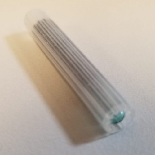
RFID tag
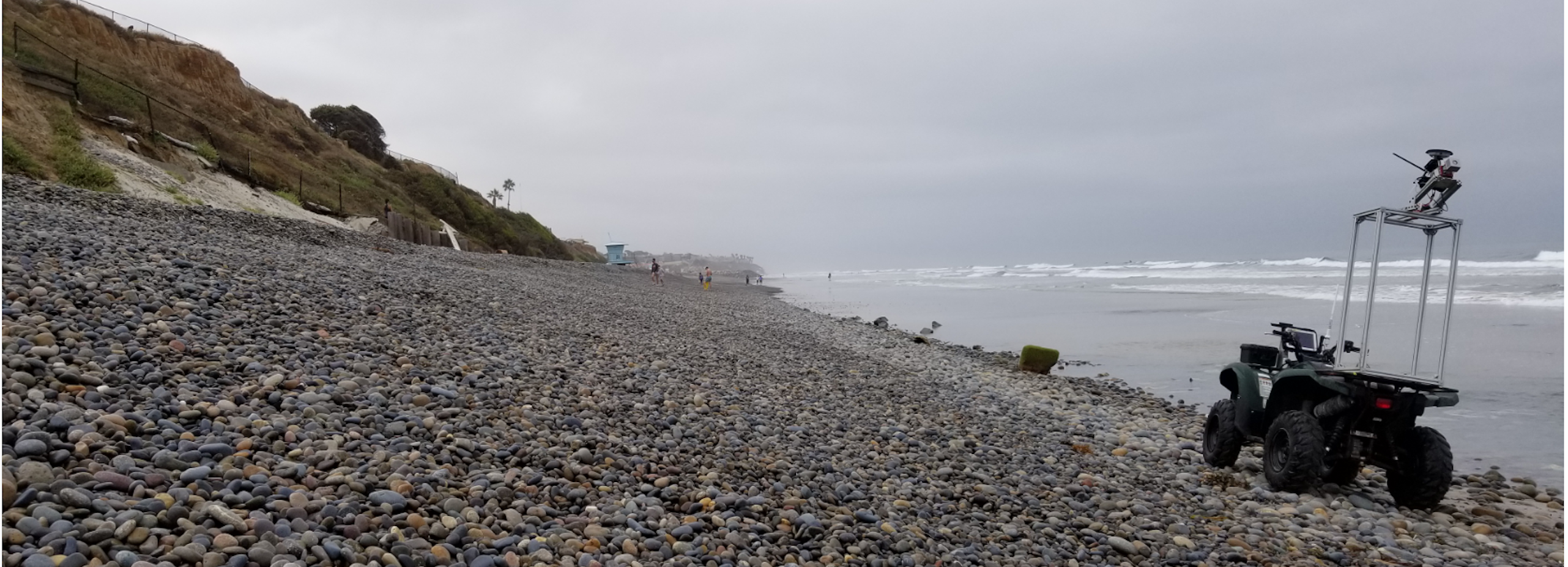
This project uses radio-frequency identification (RFID) technology to track individual cobbles at Torrey Pines State Beach in San Diego County. Rates and direction of cobble transport will be determined, and integrated with ongoing observations of incident waves, beach morphology, and cobble coverage to calibrate a model for the displacement (vertical, alongshore, and cross-shore) of the cobble component of mixed (sand and cobble) beaches.
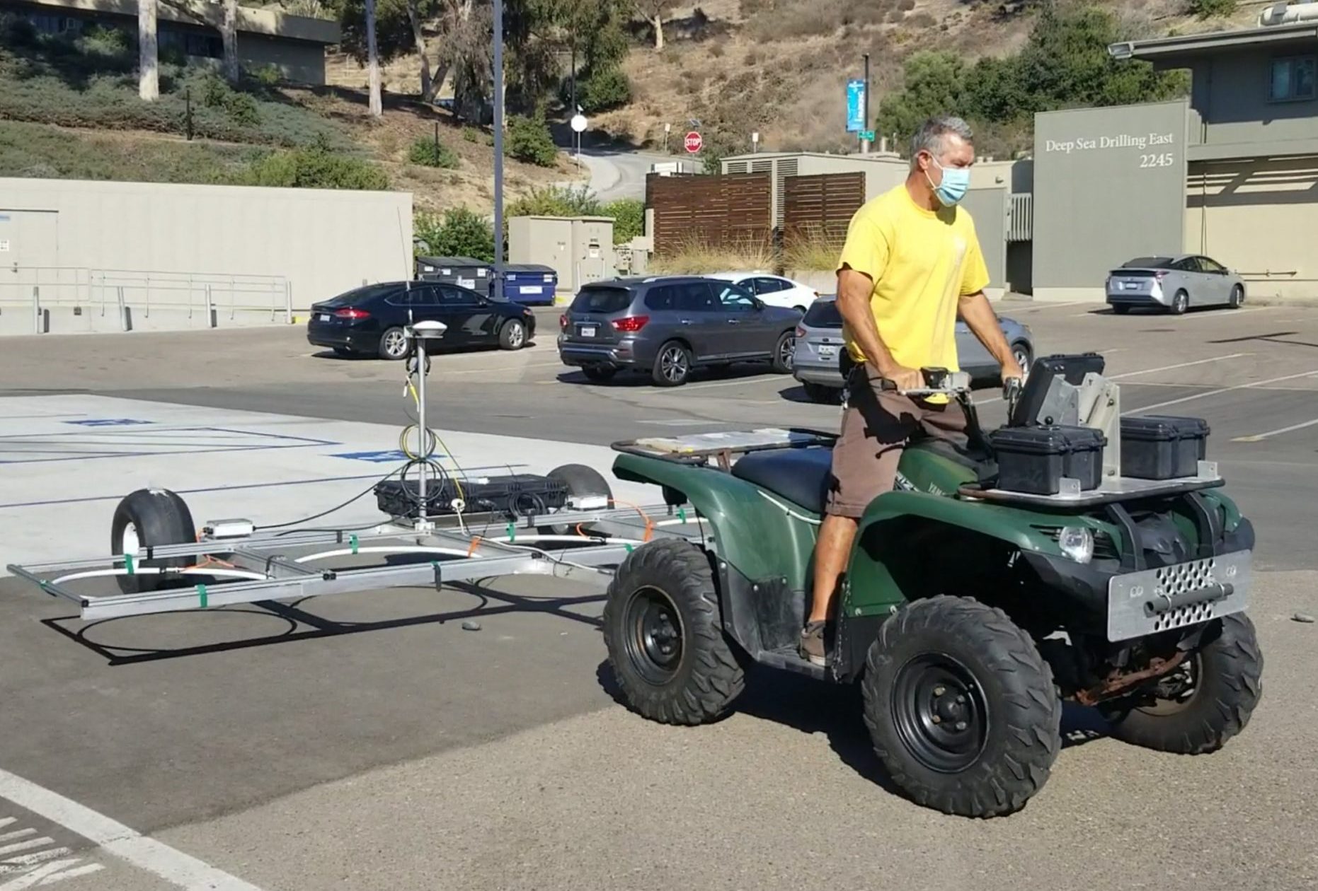
Mobile cobble tracking system including differential GPS, inertial navigation, and RFID antennae array
Cobbles will be tagged with small, inexpensive, and durable RFID tags each with a unique identifier that allows them to be individually tracked with an antenna. Some cobbles will be outfitted with accelerometers for continuous recording of individual cobble directions.
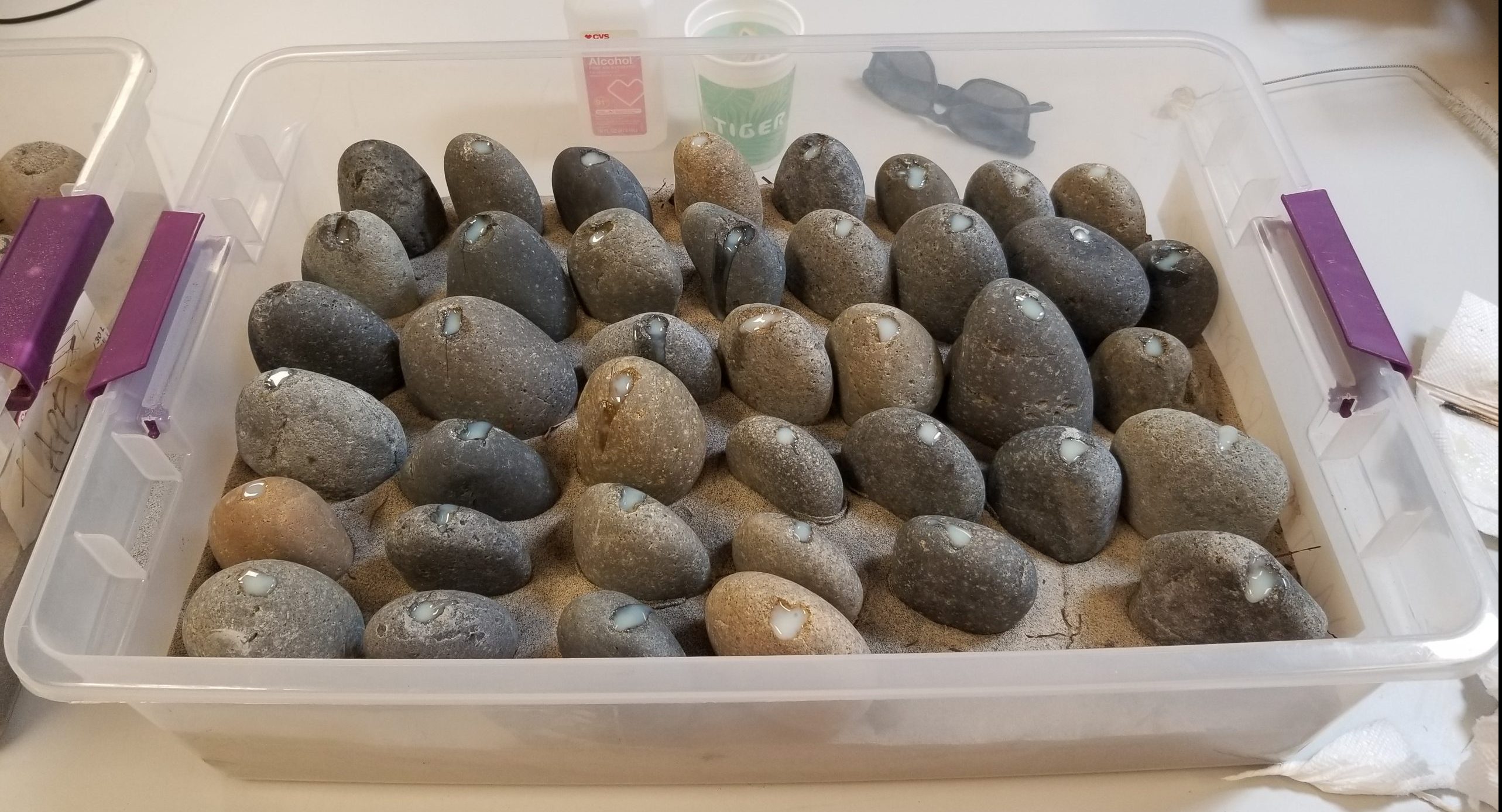
Cobbles instrumented with RFID tags
RFID cobble movements (left, red and blue dots) and corresponding wave condition (right, black dot).