
Resilient Futures: Imperial Beach
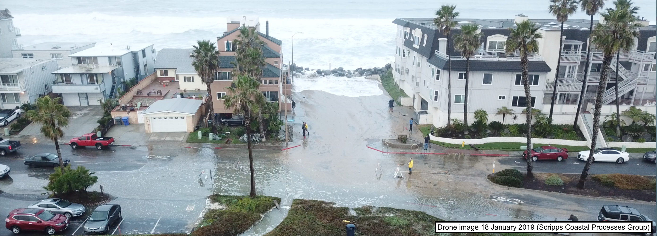
The City of Imperial Beach, a low-lying coastal community just north of the U.S.-Mexico border is vulnerable to flooding, particularly as sea-level continues to rise. During seasonal peak tides and energetic wave events, the City experiences flooding that impacts residents, businesses, and infrastructure. Resilient Futures: Imperial Beach, a project developed by the Scripps Institution of Oceanography Center for Climate Impacts and Adaptions (CCCIA) aims to upgrade the City of Imperial Beach's flood alert capabilities and to develop tools to better prepare stakeholders for sea-level rise. The project is being implemented in close collaboration with the City of Imperial Beach and is funded by the David C. Copley Foundation.
Information on historic flooding events, extreme event observations, and flood forecasts at Imperial Beach are available at the CCCIA website.
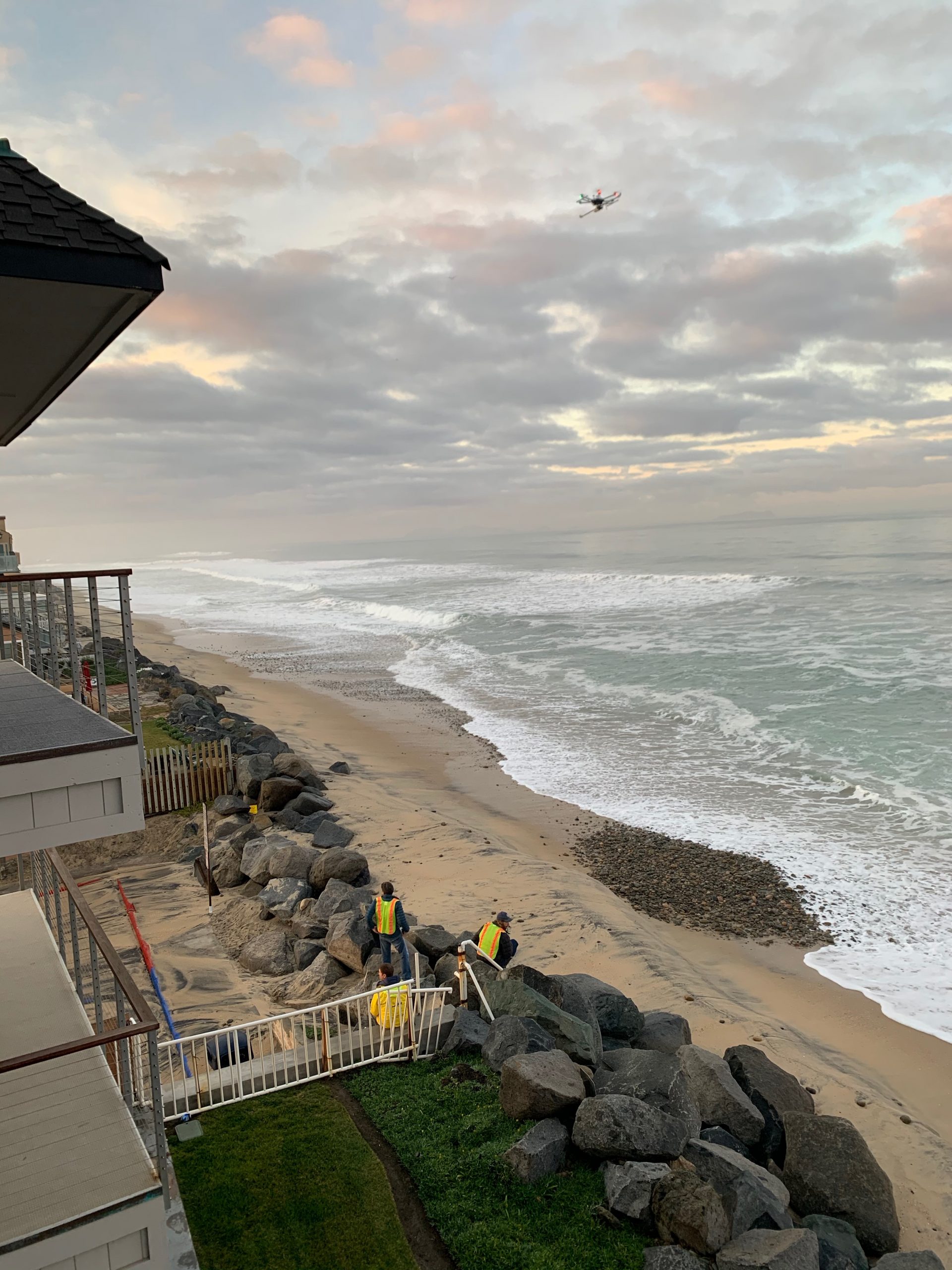
The Coastal Processes Group used in-situ current and wave sensors, LiDAR imaging systems, radar sea level sensors, drone flooding surveys, and beach surveys to observe conditions before, during, and after extreme wave or high tide events. These observations are being used to develop and validate flood forecasting tools and to inform how the beach, estuary inlet, and wave conditions are changing over time.

Installation of the Imperial Beach Pier radar wave sensor