Photogrammetry
SfM uses computer vision software to stitch together hundreds of overlapping aerial photographs into 3D models. SfM and LiDAR produce survey-grade data products, including colorized point clouds, digital elevation models, and photo orthomosaics. We ensure data quality using drones with built-in precision GPS and industry standard ground control survey equipment. Adequate ground control is time-consuming and can be logistically difficult.
Structure from Motion (SfM) photogrammetry from small unmanned aircraft systems (e.g., drones, quadcopters, hexacopters) is used as an alternative to expensive and heavy LiDAR elevation surveys.
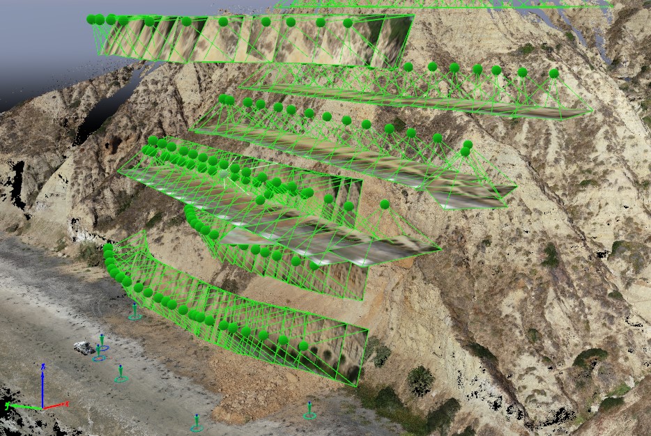
Overlapping aerial photographs
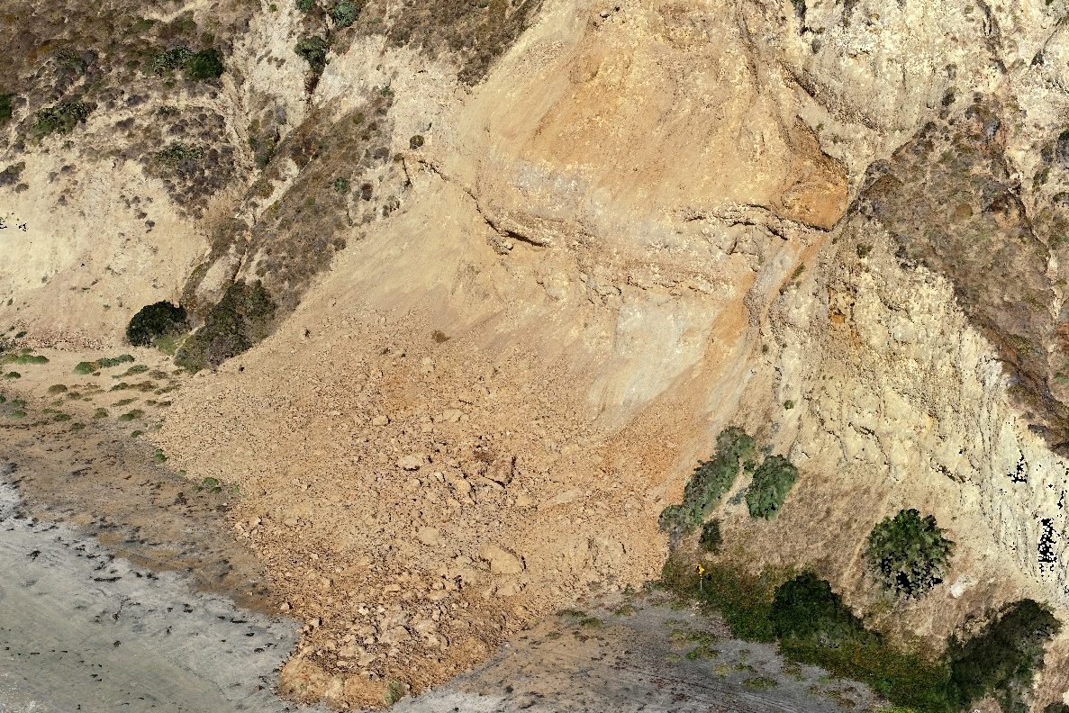
Colorized point cloud cliff collapse SfM photogrammetric image
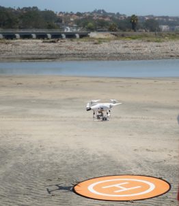 Airborne sensors: The regulatory environment is evolving. Our staff pilots are FAA certified. We work closely with the University of California, and local, state, and federal stakeholders to ensure compliance with rules concerning airspace and other issues. In addition to LiDAR and RGB Cameras (up to 4K video, 24 MP still) payloads have included hyperspectral (surface turbidity and tracer dye concentration) and thermal (rip currents) cameras. Ongoing efforts include finding cost-effective airborne platforms and sensors with sufficient accuracy, longer flight times, and fewer weather restrictions.
Sand Berm Monitoring: Sand berms are constructed seasonally to protect vulnerable infrastructure from flooding. Berm breaching, challenging to monitor with old school methods (GPS mounted on an ATV, left), is resolved with drone photogrammetry.
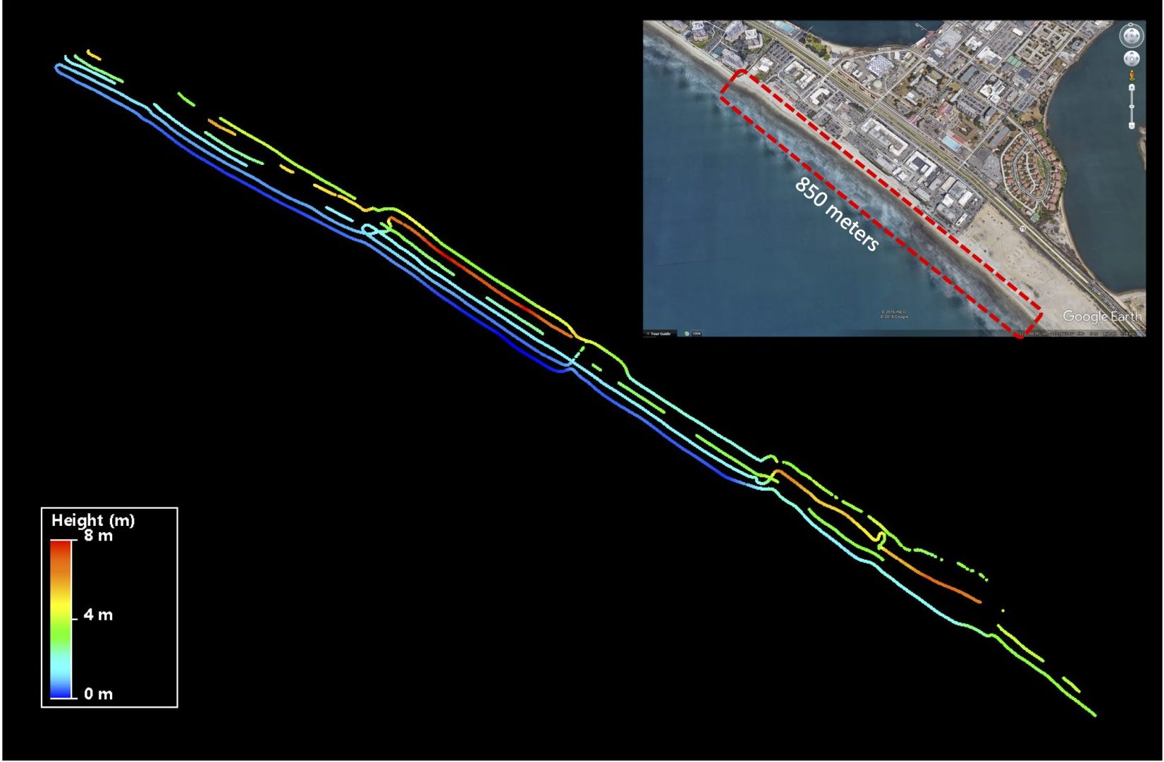
GPS All-Terrain-Vehicle Survey
- GPS surveys are conducted by driving on alongshore beach transects
- Surveys are time-consuming and resulting topographic contour data is relatively sparse
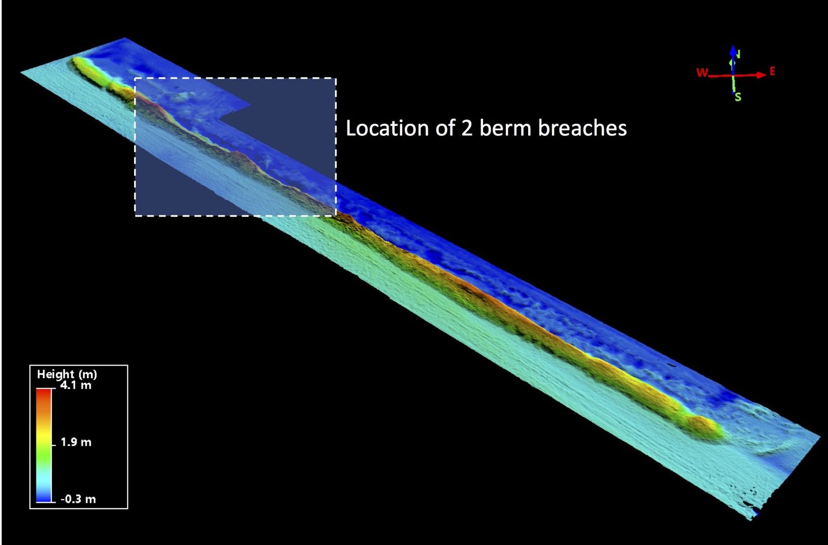
Photogrammetric Drone Survey
- High spacial resolution survey obtained using photogrammetry and drones
- Ground control points are critical for accuracy
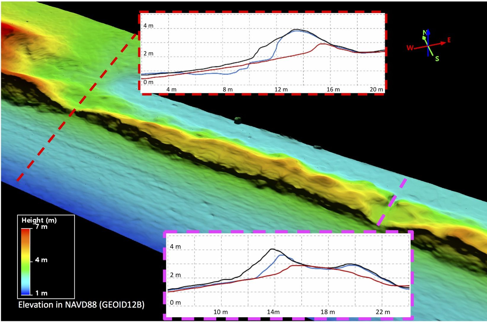
Sand Berm Breaches
- Breach dimensions and location are measured accurately
- Dune/berm resilience is not well understood
