Matthew Maclay
Staff
Research Interests
-
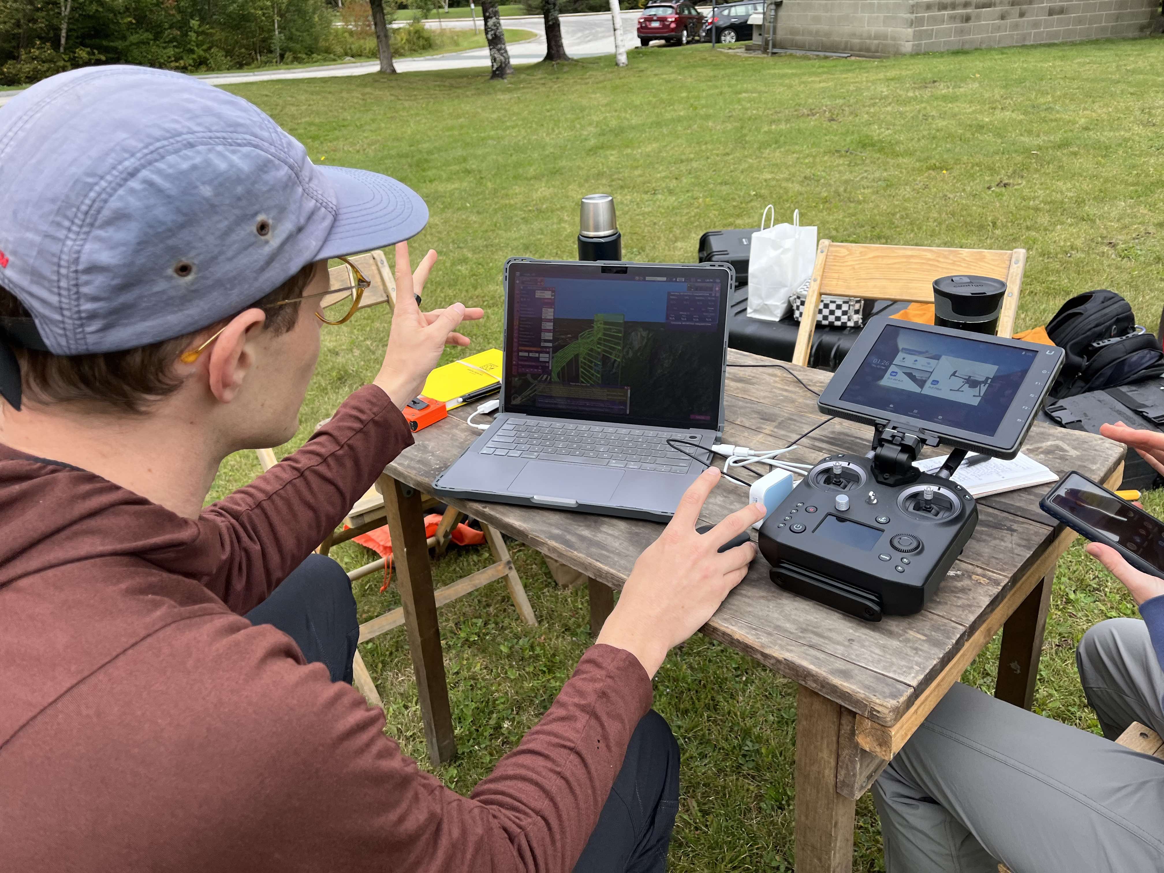
Photogrammetry, LiDAR, 3D Visualization and Analysis
-
Multi-wavelength Remote Sensing
-
Landscape Evolution
Matthew develops and maintains LiDAR processing and analysis software to enable automated detection and quantification of coastal erosion events. After earning his BA in physics from Carleton College, Matthew worked for three years at the Space Telescope Science Institute, supporting Hubble Space Telescope operations and gaining experience in spaceborne instrumentation, optics, data reduction, and scientific software development. For his graduate degree in Earth Sciences, Matthew studied how climate affects bedrock weathering and rockfall rates.